Week 2
This week my class divided into four groups of five students and one mentor. My group drove out to Hoffmaster State Park to conduct some field tests on dune #3.
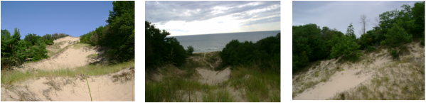
Surveying
We were testing the different surveying techniques in order to create a topographic profile of the dune. After collecting the general data, ex: current weather conditions and location of the dune, we began our tests on the dune.
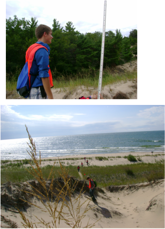
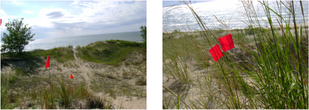
We created a transect line, which is straight up the dune. Then we measured the distance and used stadia pole readings to find the elevation change at each flag that we placed.
We created a transect line, which is straight up the dune. Then we measured the distance and used stadia pole readings to find the elevation change at each flag that we placed.
Going home
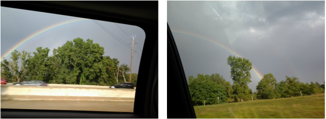
This does not have to do with the FYRES course but we discovered a magnificent rainbow on the drive home. It was the brightest and clearly defined rainbow that I had experienced.